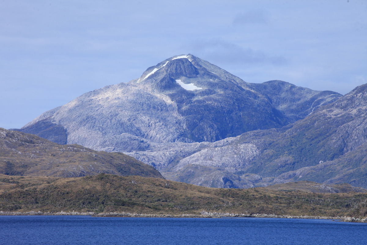
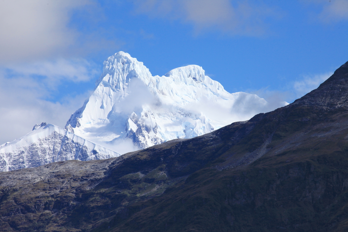
And thanks to reader and friend Joan L., here is another story about the find. To see more fantastic rock photos of the Kimberley, see here. And finally, a map and description sent to me from Joan L.
-------------
Geology and Geomorphology of the Kimberley
The rocks of the Kimberley region contain a geological record that spans the last 1900 million years of the Earth's history. The oldest rocks in the Kimberley form the Lennard Hills in the west Kimberley and the Bow River Hills and the Halls Creek ridges in the east Kimberley. These comprise metamorphosed sediments,volcanics and granites.

Geological Map of the Kimberley Region
The main part of the Kimberley, known as the Kimberley Plateau comprises of generally flat lying sedimentary rocks. These sandstones and quartzites were deposited about 1800 million years ago by major river systems that flowed from north to south across the whole region. These rocks also contain considerable volumes of concordant basalt lava flows that are a characteristic of the Mitchell Plateau. Subsequent to around 1790 million years ago the region has seen several periods of geological activity that has resulted in deposition of further sedimentary sequences, largely around the margins of the Kimberley Plateau, and there is evidence for periods of major glaciations.
The current landscape of the Kimberley has been evolving over a period of at least 250 million years. Periods of uplift resulted in peneplanation of the land surface and deeply incised rivers. A lengthy period of tropical conditions 70-50 million years ago resulted in the development of a lateritic cap, particularly over the volcanic rocks which are more susceptible to weathering. This is a characteristic feature of the Mitchell Plateau.
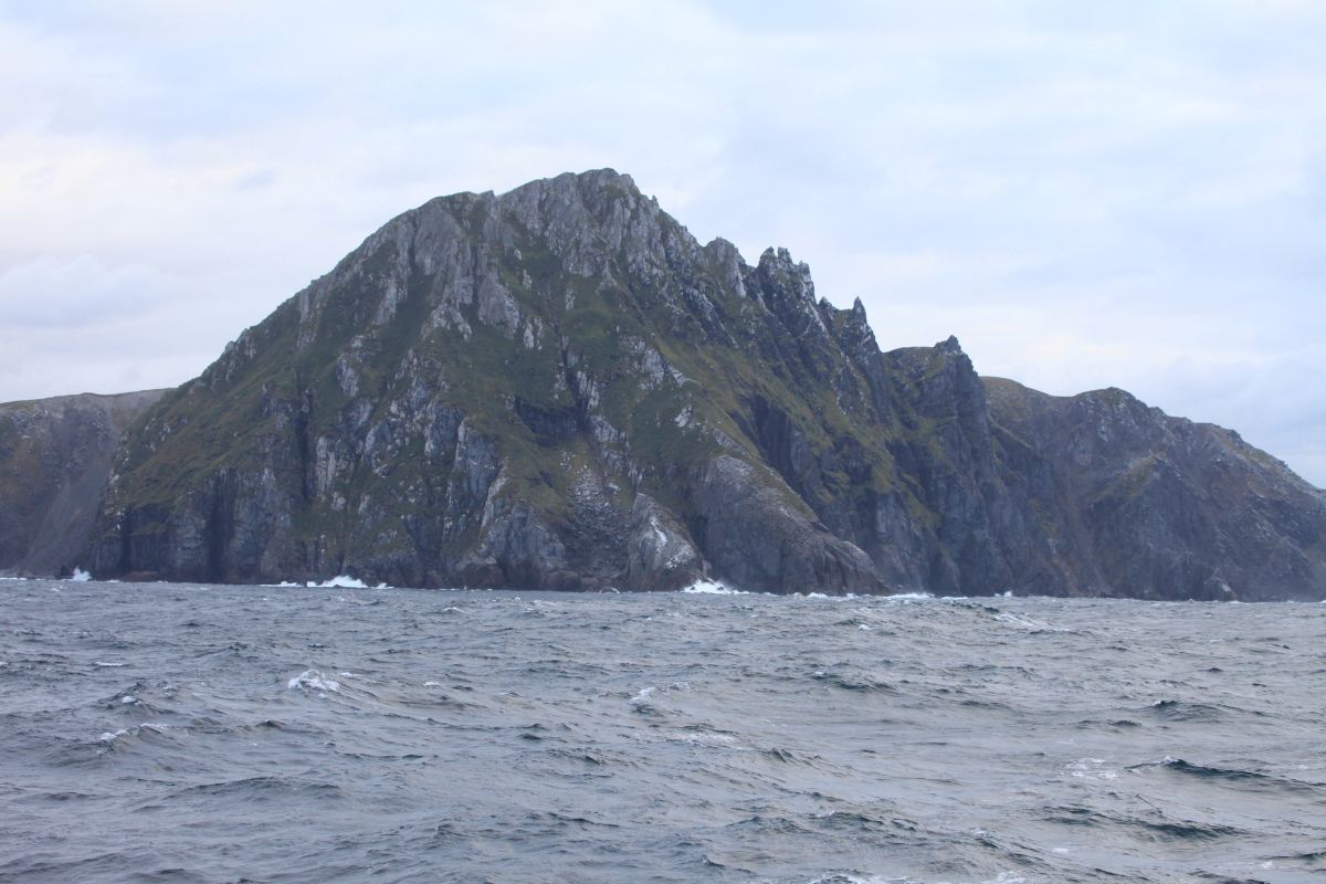
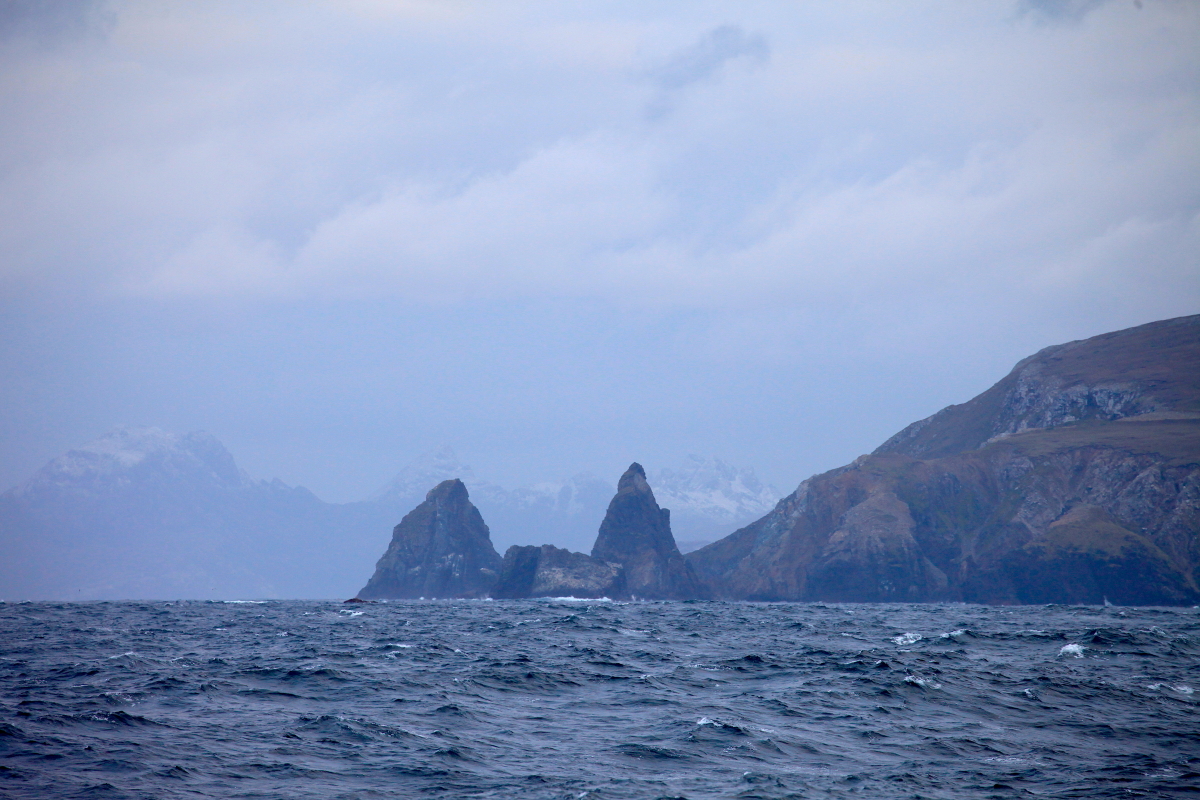
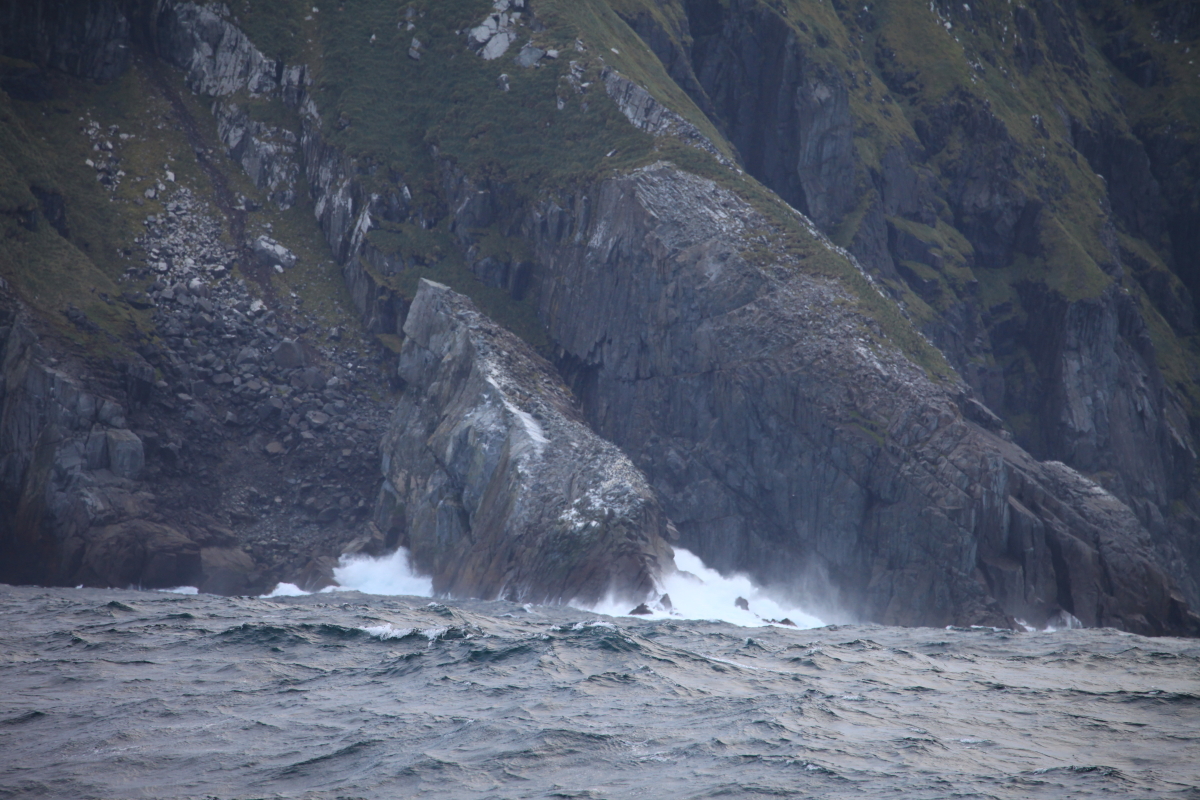
As sea levels rose from approximately 120m below current levels following the end of the last glacial maxima 18 000 years ago, the Kimberley coast line became drowned with the sea filling what were once river valleys. This phenomena gives the coastline its distinctive irregular outline.
Reference: Geology and Landforms of the Kimberley. I Tyler. Department of Conservation and Land Management. 2000
The main part of the Kimberley, known as the Kimberley Plateau comprises of generally flat lying sedimentary rocks. These sandstones and quartzites were deposited about 1800 million years ago by major river systems that flowed from north to south across the whole region. These rocks also contain considerable volumes of concordant basalt lava flows that are a characteristic of the Mitchell Plateau. Subsequent to around 1790 million years ago the region has seen several periods of geological activity that has resulted in deposition of further sedimentary sequences, largely around the margins of the Kimberley Plateau, and there is evidence for periods of major glaciations.
The current landscape of the Kimberley has been evolving over a period of at least 250 million years. Periods of uplift resulted in peneplanation of the land surface and deeply incised rivers. A lengthy period of tropical conditions 70-50 million years ago resulted in the development of a lateritic cap, particularly over the volcanic rocks which are more susceptible to weathering. This is a characteristic feature of the Mitchell Plateau.
As sea levels rose from approximately 120m below current levels following the end of the last glacial maxima 18 000 years ago, the Kimberley coast line became drowned with the sea filling what were once river valleys. This phenomena gives the coastline its distinctive irregular outline.
Reference: Geology and Landforms of the Kimberley. I Tyler. Department of Conservation and Land Management. 2000